From the desk of Jeff Martin:
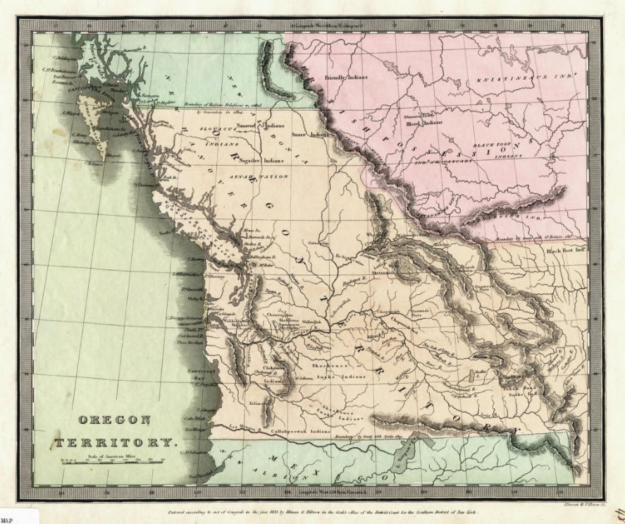
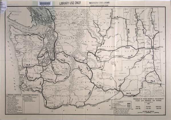
Maps add a visual element to history. The State Archives and the State Library hold extensive map collections dealing with the Washington State and the surrounding region. Maps for these digital collections are drawn from state and territorial government records, historic books, federal documents and the Northwest collection. Here are two examples from this growing collection.
 Author: Roberts, Henry, Lieut.
Title: Chart of the N.W. coast of America and the N.E. coast of Asia, explored in the years 1778 and 1779 [electronic resource] / prepared by Lieut[enan]t Hen[r]y Roberts, under the immediate inspection of Capt. Cook ; engraved by W. Palmer.
Imprint: London : Wm. Faden, geographer to the King, Charing Cross, 1784.
Note: Electronic data.
Author: Roberts, Henry, Lieut.
Title: Chart of the N.W. coast of America and the N.E. coast of Asia, explored in the years 1778 and 1779 [electronic resource] / prepared by Lieut[enan]t Hen[r]y Roberts, under the immediate inspection of Capt. Cook ; engraved by W. Palmer.
Imprint: London : Wm. Faden, geographer to the King, Charing Cross, 1784.
Note: Electronic data.
"July 24, 1784."
Relief shown pictorially. Depths shown by soundings.
"The unshaded parts of the Coast were taken from a Manuscript Chart which a Russian furnished us with ..."
Includes notes.
Vertically fold-lined at center.
This link will take you to the online map.